
Hiking
Gorropu Gorge: how to get there and what to know first
Published October 25, 2026 · updated October 26, 2026 · 13 min read
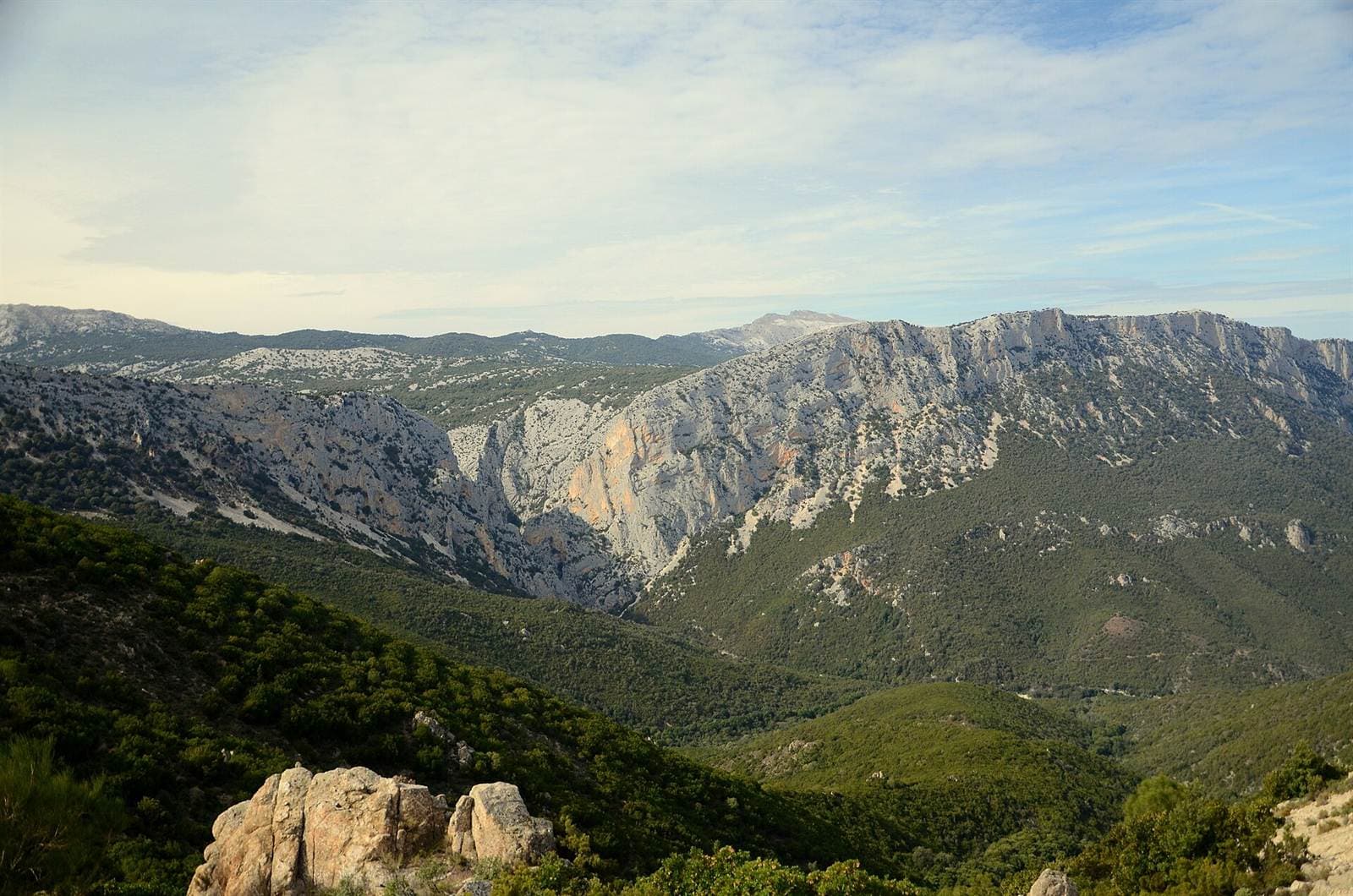
etheriel, CC0 (pubblico dominio), Wikimedia Commons (https://commons.wikimedia.org/wiki/File:Gorroppu_Canyon_Sardinia.jpg)
Gorropu Gorge lies between Urzulei and Orgosolo: the three hiking routes, how it formed, what sources say on tickets and guides, and when not to go.
Gorropu Gorge (sources also spell it Gorroppu) is one of the best-known places in the Supramonte, but it pays to check the details before you set off: there are three trails, the rules change and the weather matters more than your legs. Here we put in order what the sources say: where it is, how it formed, where the hikes start, what to know about tickets and guides and, above all in autumn and winter, when it is better to give up. Where sources disagree, we tell you who says what. By “operator” we mean the company Chìntula and its website, gorropu.info.
In short
- Gorropu Gorge marks the boundary between Orgosolo (Barbagia) and Urzulei (Ogliastra), according to Sardegna Turismo. It was cut into the limestone by the Rio Flumineddu and is about 1.5 km long.
- You can only visit it on foot, from three sides: from the east from the Genna Sìlana pass, from the north from the Oddoene valley (you drive there from Dorgali), from the south from Sedda ar Baccas (a route for experts).
- For the treks leading to the canyon Sardegna Turismo points to expert guides and suitable equipment; the operator sells tickets only at the entrance. Check the operator's website.
- If there is rain, storms or a weather alert, do not go: according to the operator the Flumineddu runs under the stones outside floods, but in flood it becomes dangerous.
Where Gorropu Gorge is and which municipality it belongs to
The gorge lies in the Supramonte, in the centre of Sardinia, between Barbagia and Ogliastra. Sardegna Turismo writes that it marks the boundary between the Barbagia territory of Orgosolo and the Ogliastra territory of Urzulei. The operator's website and the IUCN entry on Aquilegia nuragica (Urzulei-Orgosolo) say the same, and the tourism site of the Comune di Urzulei lists it among the attractions of its own territory. In this guide we stick to these sources: the gorge is between Orgosolo and Urzulei.
And Dorgali? Here the sources are not clear-cut, so we give you the quotes. In one place the Dorgali and Cala Gonone tourism portal puts the gorge “at the border between the territories of Dorgali, Urzulei and Orgosolo”; in another, in the section on places of interest “nearby”, it says it is “in the territory of Urzulei”. The regional entry on the gorge names only Urzulei and Orgosolo, and we stick to that; the Sardegna Turismo page on the Supramonte adds that the gorge “also involves Baunei and Dorgali”. On one point the sources agree: one of the three trails starts from Dorgali, the one that goes up the Oddoene valley, which Sardegna Turismo places in Dorgali territory. To see which place belongs to which municipality, there is our guide to the Dorgali and Cala Gonone area.
How it formed: limestone, water and figures that do not agree
The rock. The operator explains that the walls are limestone: in the Mesozoic, particularly in the Jurassic and Cretaceous, sediments settled on the floor of a shallow marine basin and turned into limestone, dolomitic limestone, dolomite and marly limestone. The rocks contain fossils (shells, sea urchins, gastropods) which, according to the operator and Sardegna Turismo, reveal a submarine origin between 190 and 60 million years ago. Those are the ages of the rock, not of the gorge: Sardegna Turismo describes it as a gorge of erosional origin.
The water. What carved it is the Rio Flumineddu: the rain falling from the northern buttresses of the Gennargentu flows into the stream, which crosses the Supramonte and over time has eroded, smoothed and dissolved the limestone. The operator writes that, outside floods, the water flows under the gravel bed, that is, under the stones of the riverbed, and that during floods it arrives “in huge quantities and with a deafening roar” (in Sardinian cando falat sa còdula, “when the flood comes down”). According to Sardegna Turismo, part of the water seeps into the underground galleries of the Supramonte and part re-emerges from springs downstream of the gorge.
The figures. The numbers in circulation do not agree, and it helps to know who gives them. They are popular-science figures, not a survey: read them as orders of magnitude.
| What | What the sources say |
|---|---|
| Length | About 1.5 km (Sardegna Turismo; operator) |
| Depth | About 500 m: for the operator the gorge, starting from Punta Cucutos (888 m), “sinks” by about 500 m; for Sardegna Turismo the stream flows at a depth of 500 m |
| Walls | Over 450 m of vertical walls at the narrowest point (Sardegna Turismo); up to 400 m according to the tour company Orientale Sarda Escursioni |
| Width | From a few dozen metres to just 4 m (Sardegna Turismo); minimum 4-5 m (operator) |
How to get to Gorropu Gorge: the three hiking routes
Sardegna Turismo lists three trails, all on foot: here is what the official sources say about each.
| Route | Starting point | Time given | Good to know |
|---|---|---|---|
| East | Genna Sìlana pass, parking area on the SS 125 between Dorgali and Baunei | 1 hour in, double that on the way back | Marked trail; “the only difficulty is the elevation gain” (Sardegna Turismo) |
| North | s'Abba Arva bridge (another regional page writes “sa Barva”), reached by car from Dorgali through the Oddoene valley | About 2 hours on foot along the Flumineddu | For Sardegna Turismo it is the least demanding route |
| South | Sheepfolds of Sedda ar Baccas, in Urzulei territory | 12 km; 3 to 5 hours round trip, depending on the Sardegna Turismo page | Route for experts: steep descent, then the Flumineddu has to be forded; the little lake at sa Giuntura can only be crossed with suitable equipment |
For the southern route the same source gives three different figures (3, 3.5 and 5 hours): take it as a very rough indication and ask a guide. For the eastern route, Wikipedia (not an official source, and we could not check the figures) gives a 4 km panoramic trail and a climb of about 650 m to get back to the starting point.
The Base Camp. The operator also describes an “easier” access: the Gorropu Base Camp, on the SS 125, at 830 m above sea level. From there, it writes, a few minutes by car take you down to the Su Monte Orrùbiu sheepfold, and you continue for about 45 minutes on an easy trail along the Flumineddu. The page shows no date (the site's public data show it was last modified in 2019): ask the operator whether driving down is possible and under what conditions. Among the services it lists are an information point, equipment rental, a picnic area and a snack bar.
From Dorgali and Cala Gonone. The operator puts the Base Camp 5 minutes by car from the Genna Sìlana pass (five minutes also for Sardegna Turismo), 10 from Dorgali, 20 from Cala Gonone and 20 from Urzulei: the last three figures are its own, on a page dating from 2019 according to the site's data, and on mountain roads it is wise to allow a margin. For the s'Abba Arva bridge we found no official distances and we do not make any up: use a map and allow a margin. Sardegna Turismo includes Gorropu among the Supramonte destinations that can be reached in a day; from Cala Gonone or Dorgali it is still best to set off in the morning, because according to the operator entry to the canyon is allowed only from 10:00 to 16:30. With a guide, transport may be included: Orientale Sarda Escursioni writes that it picks you up by off-road vehicle where you are staying.
Tickets, opening hours and guides: what the sources say
Tickets and hours. The operator is the company Chìntula, which on its own website describes itself as the concession holder for the control and enhancement of the canyon. When we checked (25 October 2026), the home page of its website said: canyon open every day, entry allowed from 10:00 to 16:30, visit to be finished by 17:00; ticket €6 for adults aged 18 and over and €4 for ages 6 to 17. The ticket cannot be booked in advance: you buy it at the ticket office at the canyon entrance, paying in cash. The page shows no date (the site's public data show it was last modified on 26 July 2026) and no different winter hours, so always check the operator's website before you leave.
Guides. The sources do not all say the same thing:
- Sardegna Turismo writes that the treks leading to the canyon require the accompaniment of expert guides and suitable equipment.
- The Dorgali and Cala Gonone tourism portal writes that access is regulated and that, for a safe visit, you need to rely on local hiking guides.
- The operator's website lists routes of various levels, “with and without a guide”, and offers guided excursions.
We found no dated official set of rules saying who can enter without a guide: the “Informazioni generali e regolamento” page on the operator's website, when we opened it, contained no text. So: if you have no experience of long trails, choose a guide; if you are thinking of going alone, ask the operator first.
Good to know: among those who run guided excursions is Orientale Sarda Escursioni, based in Dorgali, whose website has a page on the guided excursion to the Gorroppu gorges (with no dates or prices): ask whether it is scheduled for your date. For the excursion the tour company gives about 2 hours of trekking plus stops and, as essential gear, sturdy boots, a backpack and a water bottle.
Gorropu for non-experts: the less demanding ways in
Reaching the entrance of the gorge is one thing; walking through it is another. The sources describe the accesses below as less demanding, but none of them says they suit people with no experience: be honest about your level and, if in doubt, choose a guide.
- The entrance from the north side. Drive from Dorgali to the s'Abba Arva bridge, then about 2 hours on foot along the river: for Sardegna Turismo it is the least demanding route. Allow the same for the return, on the same trail.
- The Base Camp. About 45 minutes of easy trail from the Su Monte Orrùbiu sheepfold, according to the operator (see above for driving down).
- With the jeep. The operator describes three excursions: the “easiest”, starting by jeep from the Base Camp, suitable for those who cannot or do not want to walk much; the “panoramic”, from the Genna Sìlana pass with a return by jeep; the “full” one, for those who want a still greater effort. During opening hours you can book the off-road transfer back to the car park: from Genna Sìlana, where the way back is uphill, it is an option to consider.
What is not for beginners: the route from the south, the little lake at sa Giuntura (which Sardegna Turismo says can only be crossed with suitable equipment) and any passage that requires equipment. Do not improvise: if you see conditions changing, turn back.
Safety: when not to go and what to bring
When not to go:
- With a weather alert. The regional Civil Protection issues criticality notices for hydrogeological and hydraulic risk; in its press release of 12 February 2026 the General Directorate recalls the ban on crossing streams in flood on foot or by any means and on stopping near bridges and embankments. The national criticality bulletin of the Civil Protection Department shows the alert levels (yellow, orange, red): check it the day before and on the morning itself.
- With rain, or just after it. The operator describes floods as water “in huge quantities” with a deafening roar, and the IUCN lists the seasonal floods of the Flumineddu among the causes that wash plants away from the riverbed. On the southern route the stream has to be forded: after rain it is not a stretch to attempt.
- With strong wind. It can rule out a helicopter rescue, and rescue on foot takes time: on 6 August 2023 a hiker who fell in the canyon and injured his leg was carried on a stretcher by the Alpine Rescue for about an hour and a half to the car park, after the mistral had prevented the helicopter from being used (L'Unione Sarda, 7 August 2023).
Autumn and winter. The official sources we read mention no seasonal closures: the operator says the canyon is open every day, without distinguishing seasons. Two things do change, though. At this time of year the days are short, and when it rains the Flumineddu can swell. Entry is allowed from 10:00 (according to the operator) and from the Genna Sìlana pass the way back takes double the way in (1 hour in, 2 back according to Sardegna Turismo): plan to finish well before dusk, or choose the jeep return, and before you leave ask the operator (contacts are on its website) whether the canyon is open that day. These are general considerations and our own sums on the sources' figures, not an official timetable.
What to bring:
- sturdy boots, a backpack and a water bottle (essential for the tour company we cited), plus plenty of water, food and a rain jacket;
- a map downloaded to your phone: Sardegna Turismo calls it the wildest territory on the island, so do not take for granted that you will have a signal;
- always tell someone where you are going and when you expect to be back. In an emergency the single number is 112.
Nature at Gorropu: what to look for and what to leave where it is
Gorropu is also known for a plant that exists only here. According to the operator, Aquilegia nuragica (the Nuragic columbine) grows nowhere else in the world. The IUCN entry (2017 update) classes it as “critically endangered”: known from a single population, over about 1,000 m² at 620-680 m above sea level, with around 40 mature individuals. It grows on a wet vertical cliff that is extremely hard to reach, so do not expect to see it. Among the threats the IUCN names the floods and, secondarily, the uncontrolled gathering of plants by researchers and tourists: leave everything where it is.
Among the animals the operator mentions the mouflon and the golden eagle, which still nests among the walls; in the little lakes formed by the waters that re-emerge at the downstream entrance live, according to the operator, the Sardinian brook newt and the Sardinian trout.
On the trails you pass holm oaks, ferns, strawberry trees, junipers and thousand-year-old yews (Sardegna Turismo), and downstream the Gorropu nuraghe “watches over” the entrance, writes the same source.
For the other destinations in the area, from the nuraghi to the caves, there is our guide to what to see in Dorgali and Cala Gonone; for the archaeology of the Supramonte, the one on the Nuragic village of Tiscali; if your day ends at the sea, the one on the colours of Cala Gonone's beaches. If you come back in summer and want a spot on the beach at Palmasera after your hike, write to us on WhatsApp to check availability, or see the prices and sunbed and umbrella rental at Palmasera.
Frequently asked questions
Is Gorropu Gorge in Dorgali?
According to Sardegna Turismo it marks the boundary between the territories of Orgosolo and Urzulei. In one place the Dorgali and Cala Gonone tourism portal places it “at the border between the territories of Dorgali, Urzulei and Orgosolo”, in another “in the territory of Urzulei”. On one point the sources agree: one of the three trails starts from Dorgali, the one that goes up the Oddoene valley.
How do you get to Gorropu Gorge?
Only on foot. Sardegna Turismo lists three trails: from the east, from the Genna Sìlana pass (one hour on the way in, double that on the way back); from the north, from the s'Abba Arva bridge, reached by car from Dorgali (about two hours on foot); and from the south, from Sedda ar Baccas, a route for experts.
Do you need a guide to hike to Gorropu?
Sardegna Turismo writes that the treks leading to the canyon require the accompaniment of expert guides and suitable equipment; the Dorgali and Cala Gonone portal writes that, for a safe visit, you need to rely on local hiking guides. The operator lists routes “with and without a guide”. We found no dated set of rules: if you are not experienced, choose a guide and ask the operator to confirm.
How much is the ticket, and can you book it?
When we checked (25 October 2026), the operator's website listed €6 for adults and €4 for ages 6 to 17, payable in cash at the ticket office at the canyon entrance, with no advance booking. Always check the operator's website: prices and rules can change.
Can you go to Gorropu after rain or in winter?
The official sources we read mention no seasonal closures, but the Flumineddu in flood is dangerous. If it is raining, storms are forecast or the Civil Protection has issued an alert, do not go: the regional notices recall the ban on crossing streams in flood. Before you go, ask the operator whether the canyon is open that day.
From the area: businesses mentioned in this article
Editorial mentions with verified official links; any commercial partnership is marked with a “Sponsored” label. If you run one of these businesses and want the entry corrected or removed, write to us.
Sources and further reading
- Sardegna Turismo — Gola Gorropu
- Sardegna Turismo — Gorropu (English version)
- Sardegna Turismo — Supramonte
- Sardegna Turismo — Trekking nella Sardegna più segreta e selvaggia
- Dorgali e Cala Gonone — Siti naturalistici (official site)
- Visit Urzulei (tourism site of the Comune di Urzulei) — Territorio
- Regione Sardegna, Direzione generale della Protezione civile — press release of 12 February 2026 on a criticality notice
- Dipartimento della Protezione Civile — Bollettino di criticità
- Gorropu — official website of the operator (Chìntula)
- Gorropu — La gola
- Gorropu — Geologia e carsismo
- Gorropu — Flora e fauna
- Gorropu — Campo Base
- Gorropu — Escursioni
- IUCN Mediterranean Island Plants — Aquilegia nuragica
- L'Unione Sarda — Tourist falls in Gorropu and is no longer able to walk, Alpine Rescue intervenes (7 August 2023)
- Orientale Sarda Escursioni — Escursione guidata alle gole di Gorroppu
- Wikipedia — Gola di Gorropu
Keep reading
History · October 26, 2026 · 10 min read
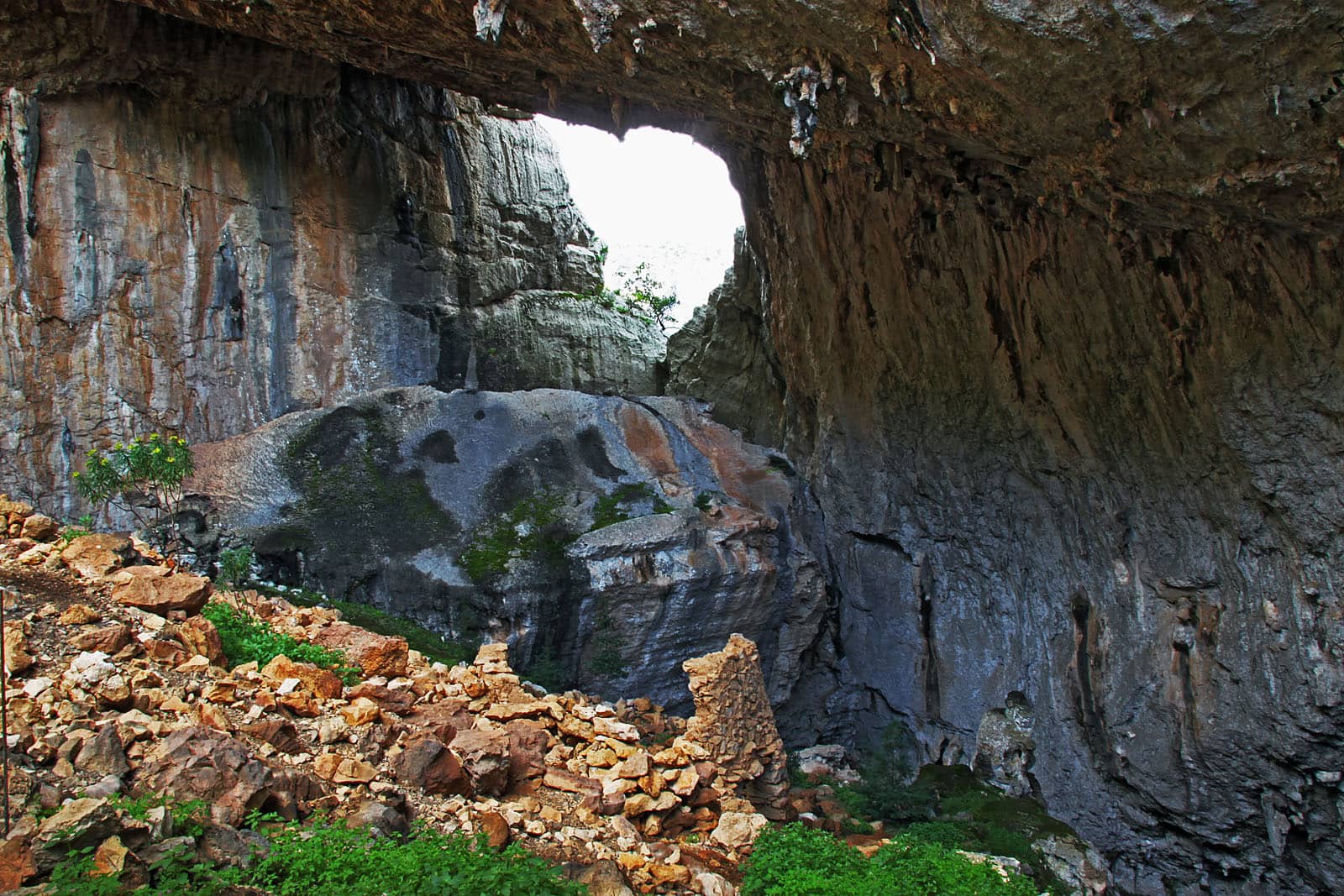
Tiscali Nuragic Village: Visiting the Hidden Sinkhole Site
A village built inside a sinkhole on the border between Dorgali and Oliena: the story of Tiscali, what archaeologists say and how to prepare for the visit.
Read the article →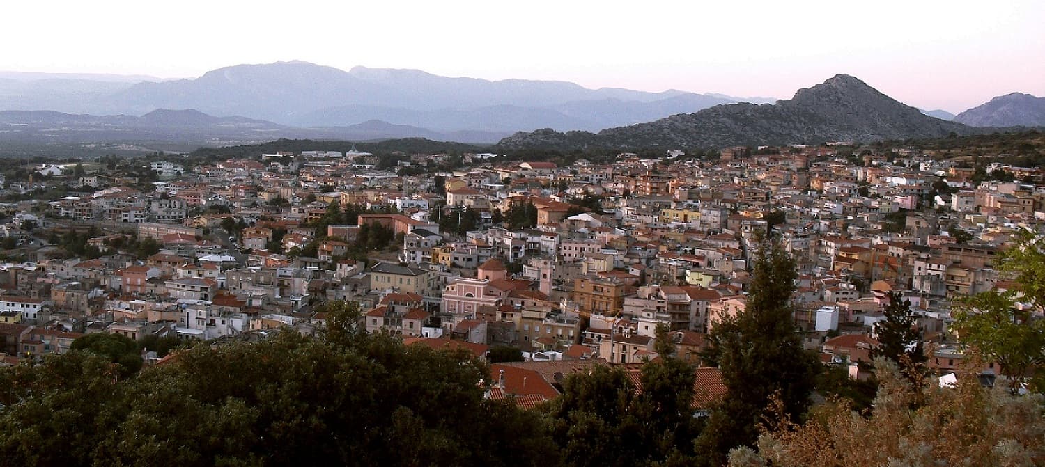
The area · October 9, 2026 · 12 min read
What to See in Dorgali and Cala Gonone: A Guide to the Area
A mountain town facing the sea, a seaside village on the Gulf of Orosei and a hinterland of gorges, caves and nuragic villages: how to find your way and what not to miss.
Read the article →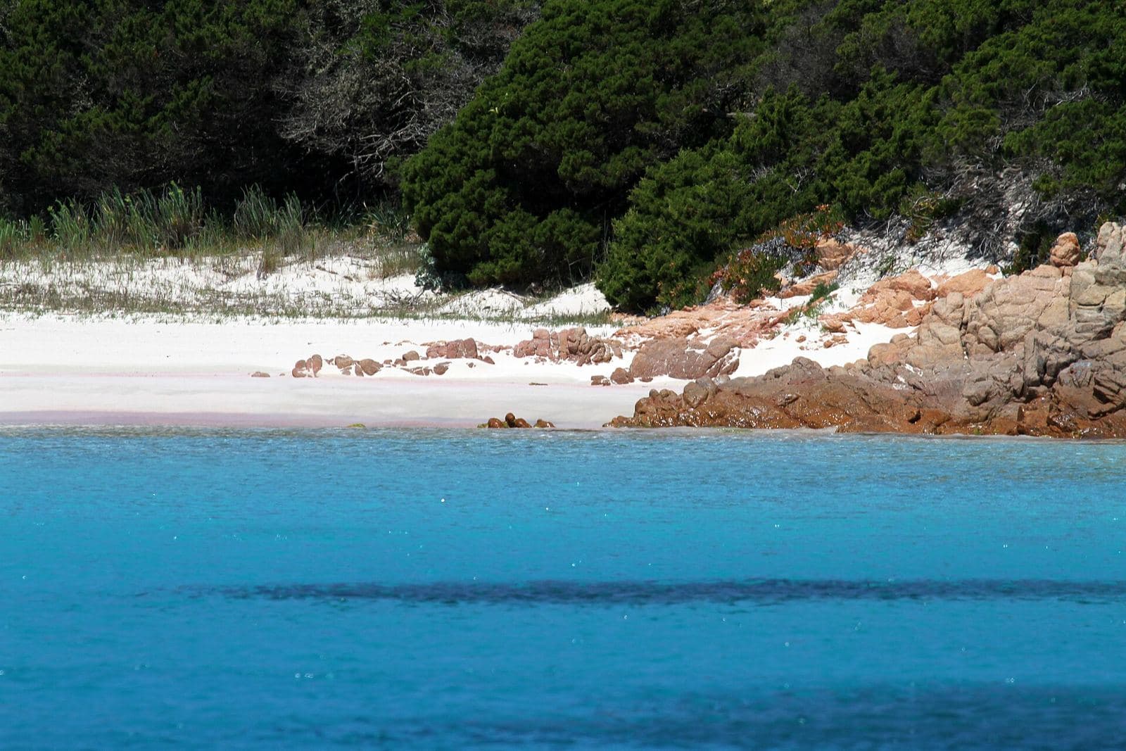
Sea and beaches · October 25, 2026 · 10 min read
Pink Beach near Cala Gonone? Where It Really Is, What to See
The famous Pink Beach is on Budelli, in the La Maddalena archipelago, and landing is not allowed. Where to see it properly and what is pinkish at Cala Gonone.
Read the article →